Inspiration: Illustrated UK and Ireland map
We've got lots of ideas on the back burner, one such example is our new illustrated map depicting the UK and Ireland in pictures, which has been simmering away since 2009.
Maybe it was the daunting task of hand illustrating each tiny symbol that prevented David from putting ink on paper, but in November 2013 he bit the the bullet. He set to work illustrating people and places on this geographically accurate map. Major cities and towns were googled for landmarks and tourist destinations to form the skeleton of the map to illustrate.
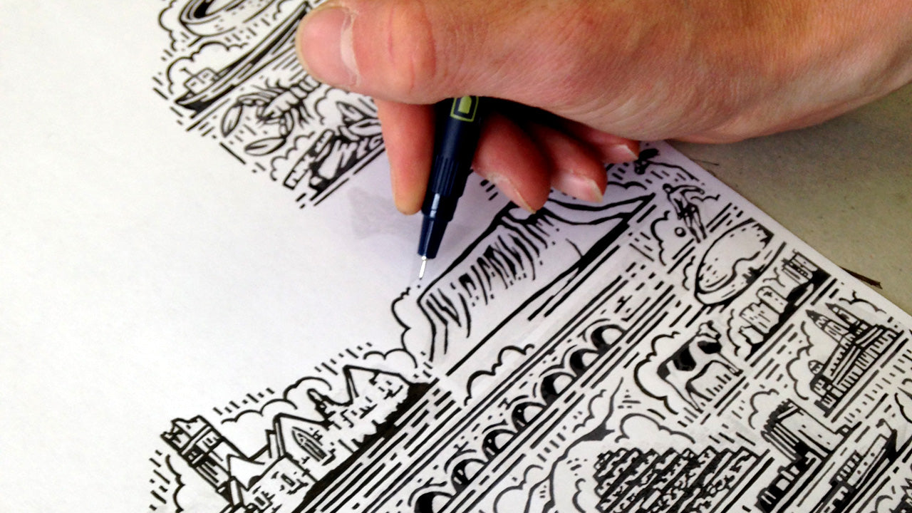
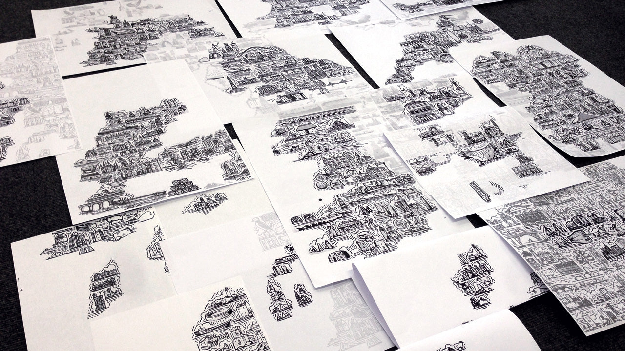
Each area was hand drawn in sections, then scanned and pieced together in Photoshop. A patchwork of places slowly built up, the holes were then filled with more drawings until it's completion in May this year.
Next up the process of getting our photoshop files to work with the traditional film-making process. A little period of testing different file types and films ensued (hindsight is a wonderful thing) to make sure the artwork would reproduce as a crisp, sharp image but we got there!
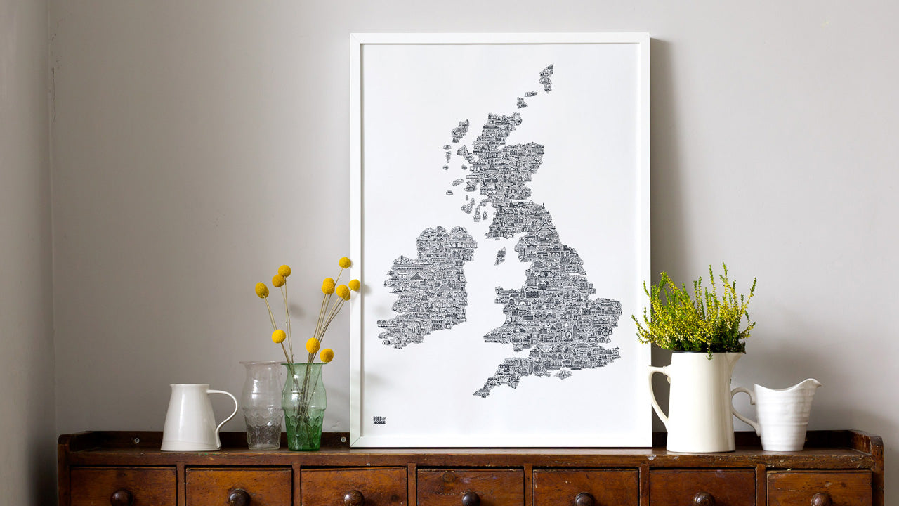
Here's the finished result, which we hope you like. It's available in sheer slate in two sizes 50cm x 70cm and an XL format of 70cm x 100cm.